3D Model  >  Other categories
0+
Danube Bend (Dunakanyar) 多瑙河湾部
Topographic 3D Map
Price£0 List:£0.35
Stand by Free Shipping(可下载)
SOLD0 [Comment0Article]
Topographic_3D_Map_-_Danube_Bend_Dunakanyar.zip Click to download Downloads: 0  

- +
Add to Cart   
In Stock:99
Seller:Model City 模型城
Satisfaction Good rating0%
Rating:0
Service Attitude:0
Logistics:0
Recommended

by ignisVeneficus

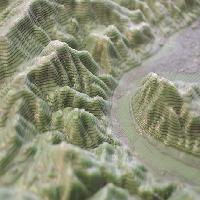
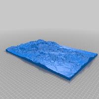
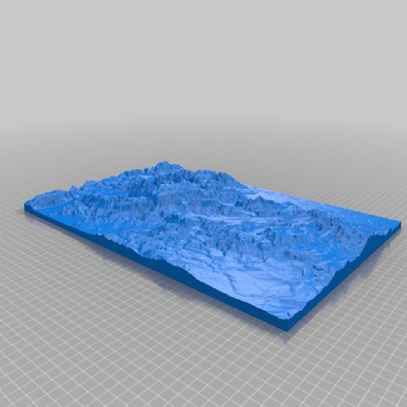
This is the 3d relif map of the Danube Bend and the Pilis Mountains and the Visegrád Mountains.
Its created from website: http://jthatch.com/Terrain2STL/

i'd like to make the mountains more visible, i printed it with visible contour lines:
I printed it with 0.05 layer height, and from every 10 layer 2 with different color (black), in this case every mm contains 2 contour line.

Print Settings

Printer Brand:                          

Prusa


Printer:                          

i3 MK3


Rafts:                          

No


Supports:                          

No


Resolution:                          

0.05


Infill:                          

20%


Filament:                                            BQ PLA                                        Grass green, black

Post-Printing

Sanding. My MK3 at this layer height stringing a lot, i need to remove it.