by EisenFluss
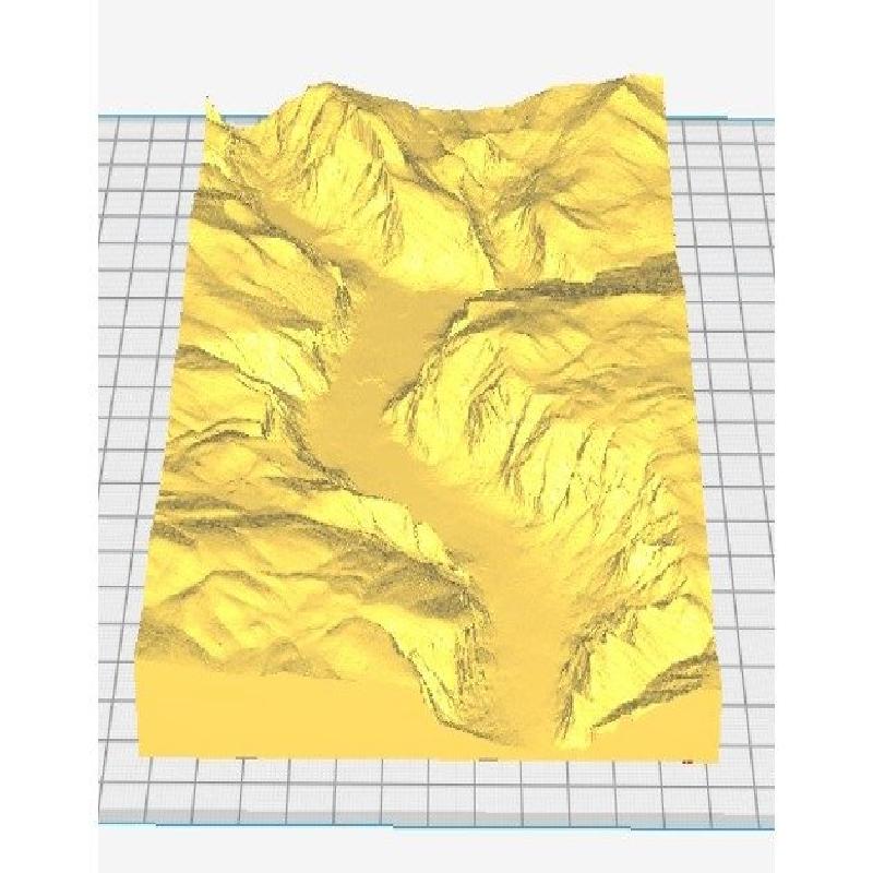
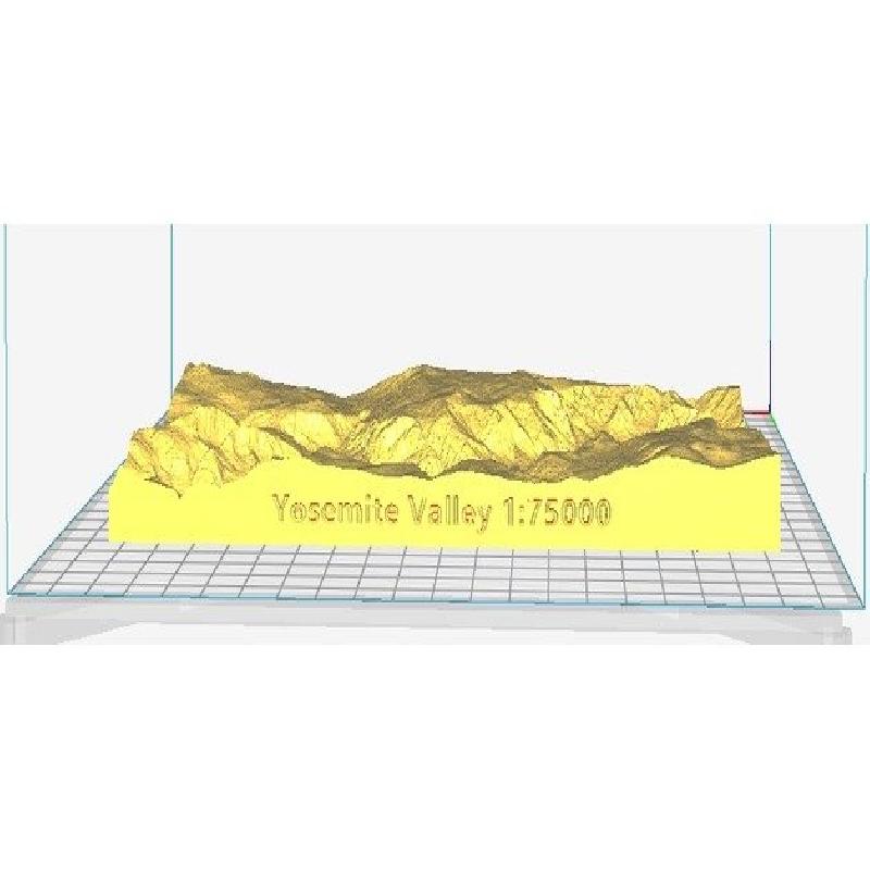
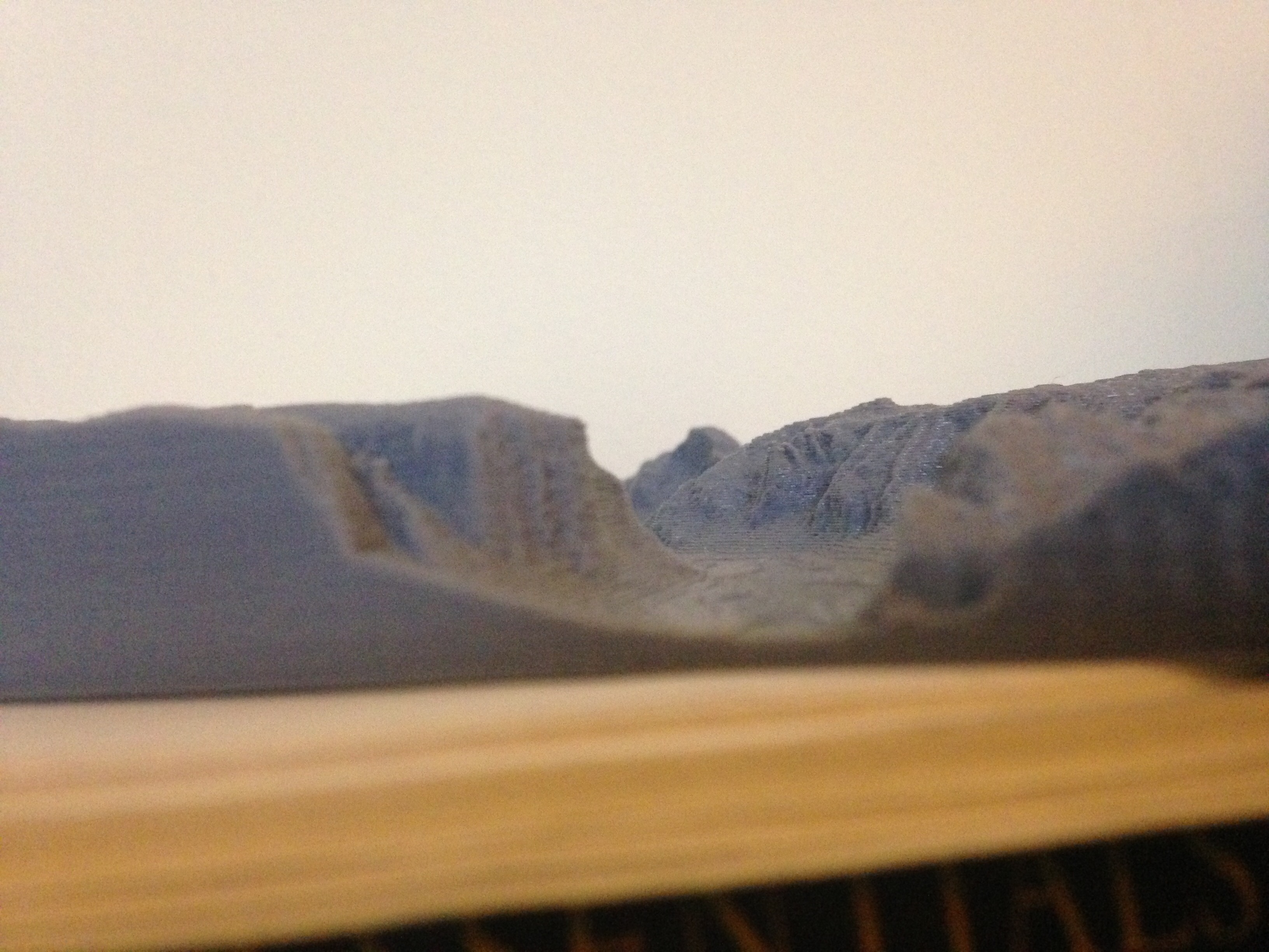
This model of Yosemite Valley was created using USGS 1/3 arc-second Digital Elevation Model (DEM) data obtained from The National Map. The scale of the model is 1:75,000 to the actual size of the valley between Half-Dome and El Capitan.
Printer:
Alunar
Rafts:
Doesn't Matter
Supports:
Doesn't Matter
Resolution:
0.2 mm
Infill:
25%
Filament: eSun PLA
Digital Elevation Model Downloading
The purpose of this lesson is to show the most basic way of downloading a Digital Elevation Model (DEM) file from the USGS The Nation Map website and explain how the file can be used to create a 3D model of topographical geography.
Downloading USGS DEM Data
Select Elevation Products (3DEP) in the data section.
For this lesson select 1/3 arc-second DEM for the resolution of the data.
Search for Yosemite Valley and Zoom in to the location.
Click the Find Products button.
If zoomed in properly to the valley between Half Dome and El Capitan, there should be only one result .
Next download the data by clicking the download button next to the data file or add the file to your cart and download by viewing your cart.
Your file should appear in your downloads as a zip file.
Unzip the file and search the folder to find the largest ADF file. This will be the file the GIS software will be able to load with all the elevation data.
The next step is to open your GIS application and load the ADF file. This will appear as a DEM file in black and white. The black will be the areas to lower elevation (the valley floor) and the white will be the areas of higher elevation ( the peaks of mountains).
The only way I have found to create an STL file for a 3D printer is using the 3DEM tool in the QGIS software. It is as easy as opening the tool and selecting the area you would like to model and then specifying the size and the scale of the model.
Go ahead and download QGIS and add the 3DEM tool to attempt making a 3D model of any mountain or valley you can find good data for.