by akimakes
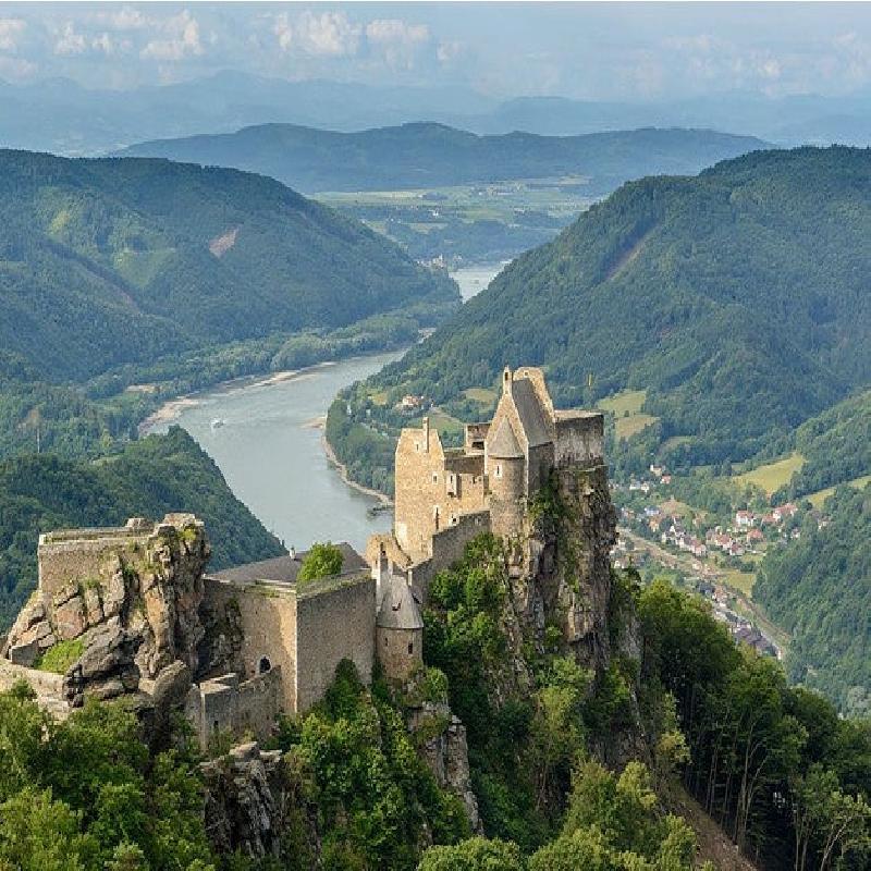
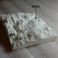
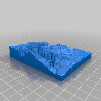
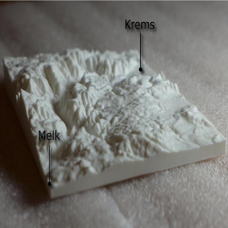
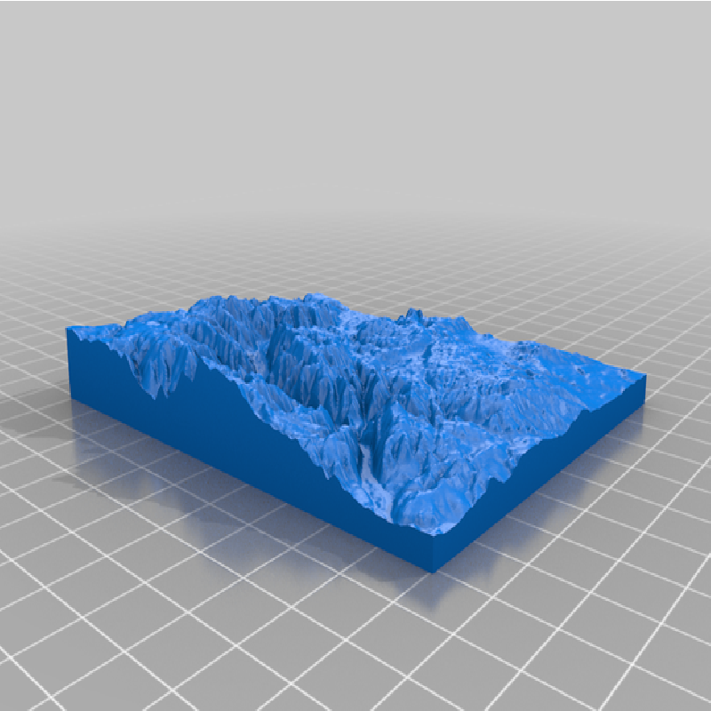
Terrain Model of the Wachau valley in Lower Austria. Famous for its beautiful landscape.
https://en.wikipedia.org/wiki/Wachau
The model was created with http://jthatch.com/Terrain2STL/ based on the SRTM3 dataset from NASA (https://www2.jpl.nasa.gov/srtm/). The model was then adapted with slic3r.
Note: The vertical scaling factor of this model is 4.0. (The height is exaggerated with a factor of 4.0.)
Image Courtesy: Uoaei1
taken from Wikipedia
CC BY-SA 3.0
File:Ruine Aggstein 02.JPG
Erstellt: 16. Juni 2014
Standort: 48° 19′ 0″ N, 15° 25′ 26″ E