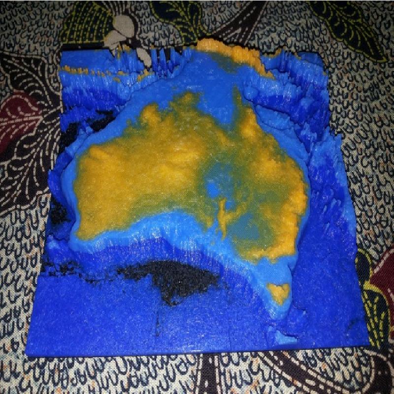
This is a STL file made from the Bathymetry of Australia.
The map height has to be exaggerated for 3D printing. If the height was scale proportionally to the longitude / latitude scale (10cm wide for 5500km), the map would only be 0.14mm tall. That's the thickness of a sheet of paper.
Map to scale:
Horizontal = From West to East, the map is approximately 5500km.
Vertical = From the deepest ocean to the tallest mountain, this map is only 8km tall.
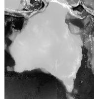
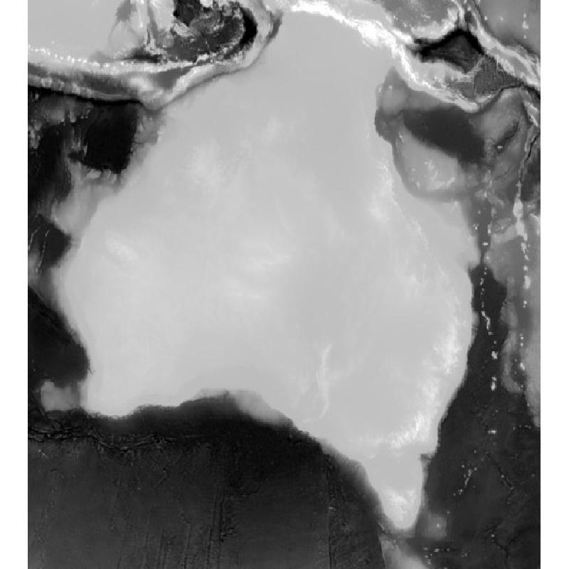
Greyscale image scale:
Black = -6000m
White = 2000m
The coastline is exactly at 2/3 of the total height.
This is how I created the STL file:
I created a greyscale image from the Bathymetry, using GeoServer. This step can also be done using QGis or ArcMap.
I created a STL file from the greyscale image using the png23d library.
Sources: